Williams College Landscape Framework Plan
To balance the College’s needs today with its aspirations for tomorrow, this planning study evaluates the systems and sites that define Williams and develops recommendations for strategic investments across the campus.
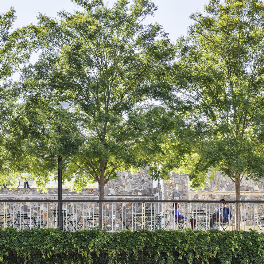
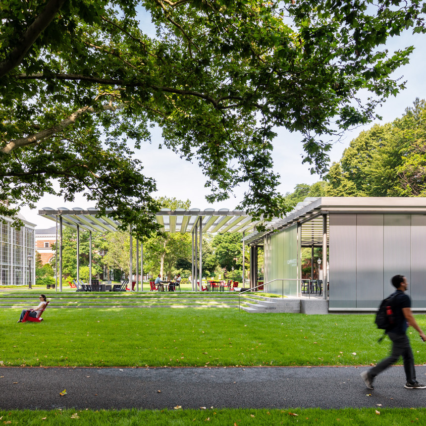
Throughout much of Williams’ history, practical approaches to building on a landscape of rolling hills have shaped a pattern of open space, facilities, circulation, and vegetation that fits with the larger landforms and prevailing viewsheds. More recently, many factors, such as larger building footprints, greater building density, tree loss, and parking provisions have fragmented the campus, blurring the clarity of the landform and planting. College leadership had struggled to understand the needs, costs, and challenges of the campus, and lacked consensus about what the purpose of the campus landscape is at Williams.
The Landscape Study finds ways to reassert rolling landforms, prioritize views, enhance pedestrian connectivity, and foster community in ways that recognize diversity and the increased programmatic requirements of inclusion, flexibility, and sustainability. Its systems-level approach helps organize the campus and provides criteria for each project to fit into the larger environment. The study is intended to remain an active document to be reviewed, discussed, and revised by the community as Williams College meets future challenges and needs.